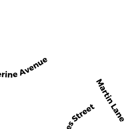
15 MARTIN LN
Owner Information
MURPHY ROBERT P JR
15 MARTIN LN
WRENTHAM, MA 02093 0984


Property Details
15 MARTIN LN is classified as a Single Family Residential (Colonial).
The primary structure on this property was built in 1989. There are 6,314ft2 of built area within this property. There is 3,372ft2 of residential/living space within this property. This property is listed as having 11 rooms.
15 MARTIN LN is valued at $571,100. The land is valued at $223,300 and the structures are valued at $343,800. There is an additional valuation of $4,000 on this property.
This property is in Zone 01. Confirm with local Zoning Board authorities to ensure there are no overlays or other easements on this property.
The most recent deed for 15 MARTIN LN is recorded at the local registrar in Book 31331, Page 339. 15 MARTIN LN was last sold on Wednesday, May 15, 2013 for $500,000.
Assessment data from fiscal year 2022.
Flood Data
According to the FEMA National Flood Hazard Layer, this property does not appear to be in a flood zone. It may also be in an area not yet reviewed. Nonetheless, confirm this information prior to taking any action.
To view the flood hazards around this property, create a FEMA "Firmette" Map of the area around 15 MARTIN LN.
Broadband Internet Providers
| Provider | Type | Bandwidth (mbps) | |
|---|---|---|---|
| Comcast | Cable | 1000 | 35 |
| Verizon New England Inc. | Fiber | 940 | 880 |
| Verizon New England Inc. | DSL | 5 | 0 |
| GCI Communication Corp. | Satellite | 0 | 0 |
| HughesNet | Satellite | 25 | 3 |
| VSAT Systems, LLC. | Satellite | 2 | 1 |
| Viasat Inc | Satellite | 100 | 3 |
Broadband service provider data from December 2020.
Adjacent Properties
- 15 CHARLES ST
Single Family Residential owned by WENGER JOHN F - 25 MARTIN LN
Single Family Residential owned by MCCOMBS, CRISTINE - 215 HARVARD LN
Single Family Residential owned by MURILLO FRANCISCO R - 205 HARVARD LN
Single Family Residential owned by CROWLEY DONALD G - 25 CHARLES ST
Single Family Residential owned by EASTWICK STEPHANI A